

Using Drones for Architectural Photography
As a specialised architectural photographer, I also offer aerial photography and drone photography services. I am a CAAS (Civil Aviation Authority of Singapore) licensed aerial unmanned vehicle (UAV) pilot in Singapore. I also offer the unique service of aerial 360 photography in Singapore and throughout Southeast Asia.
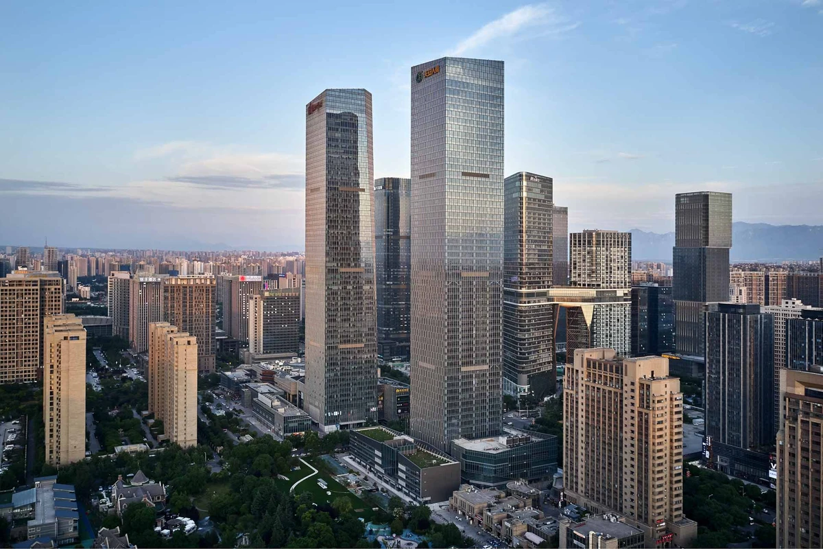
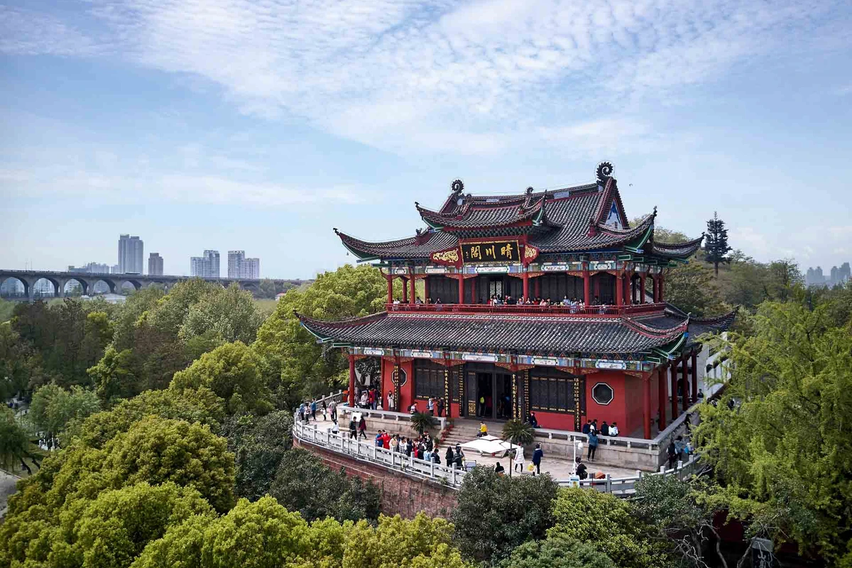
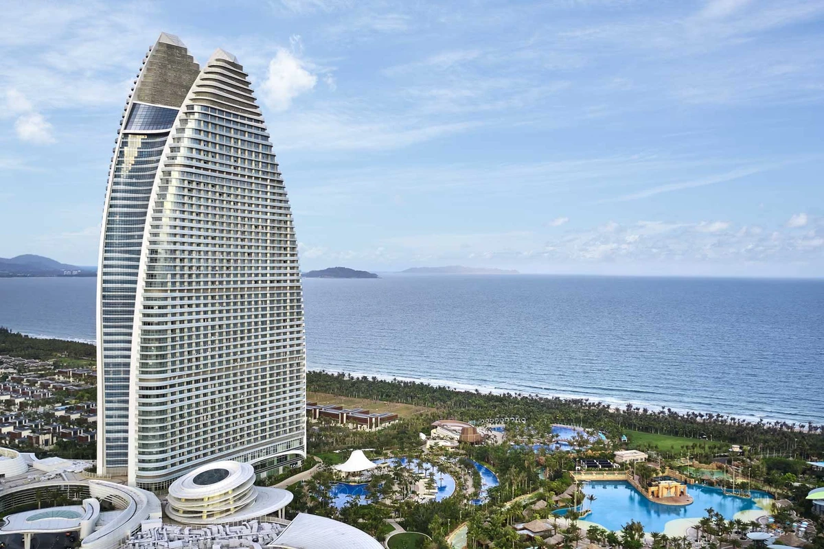
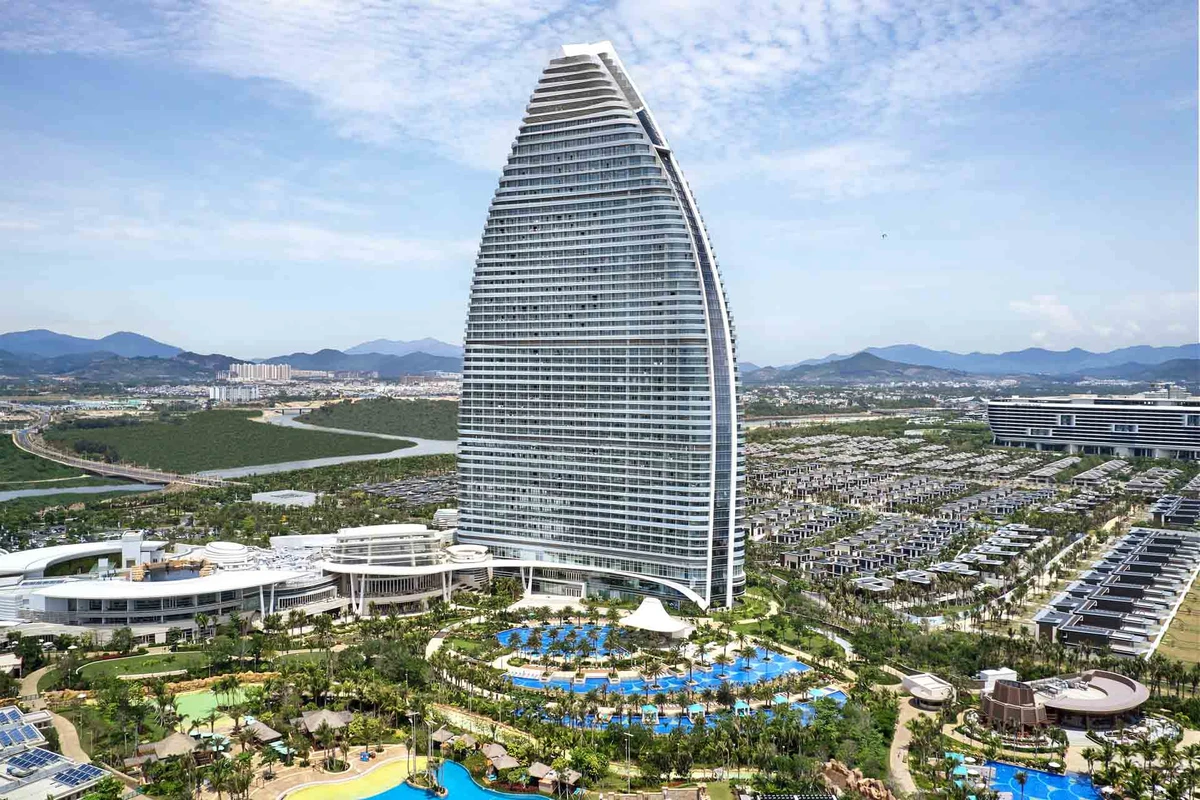
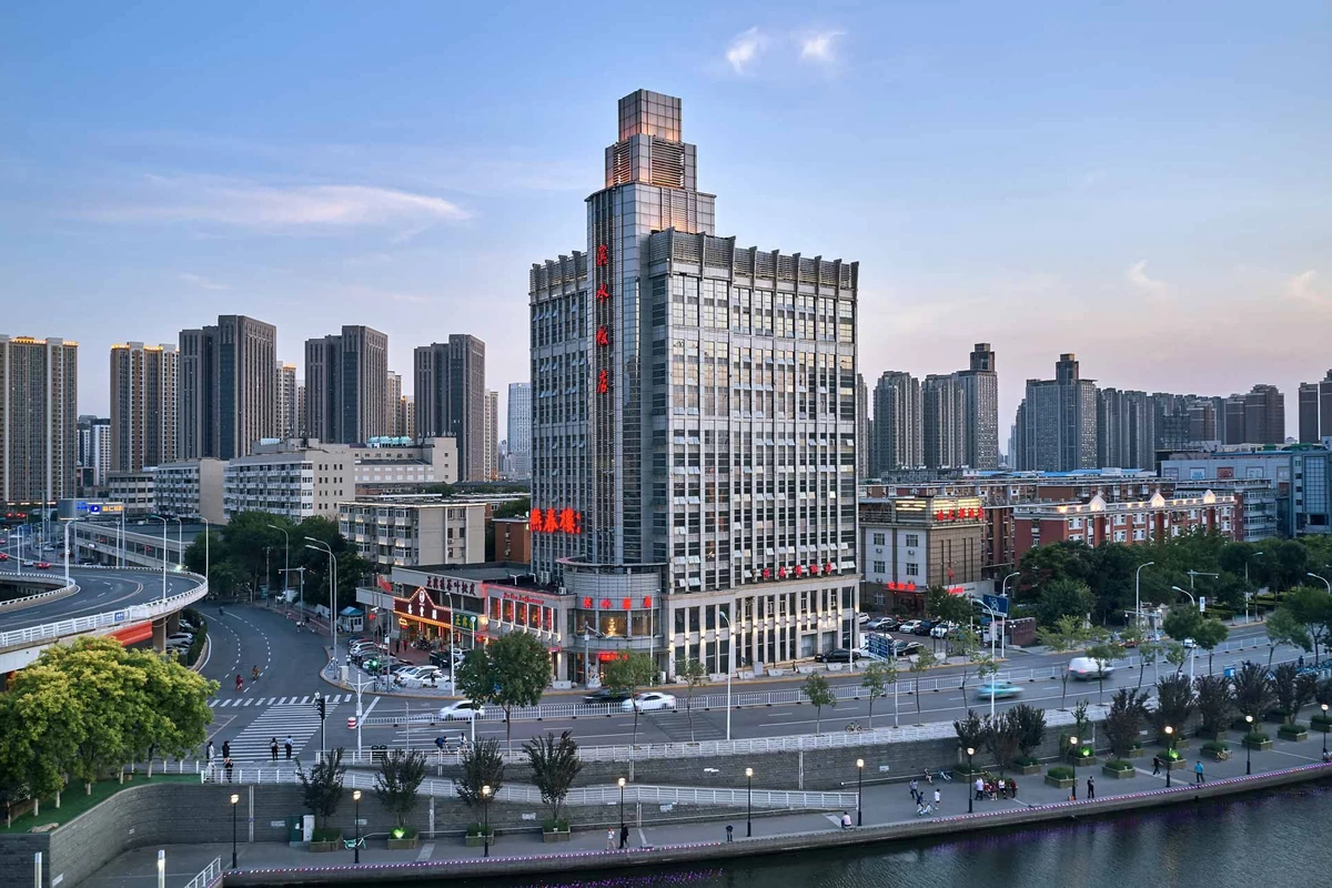
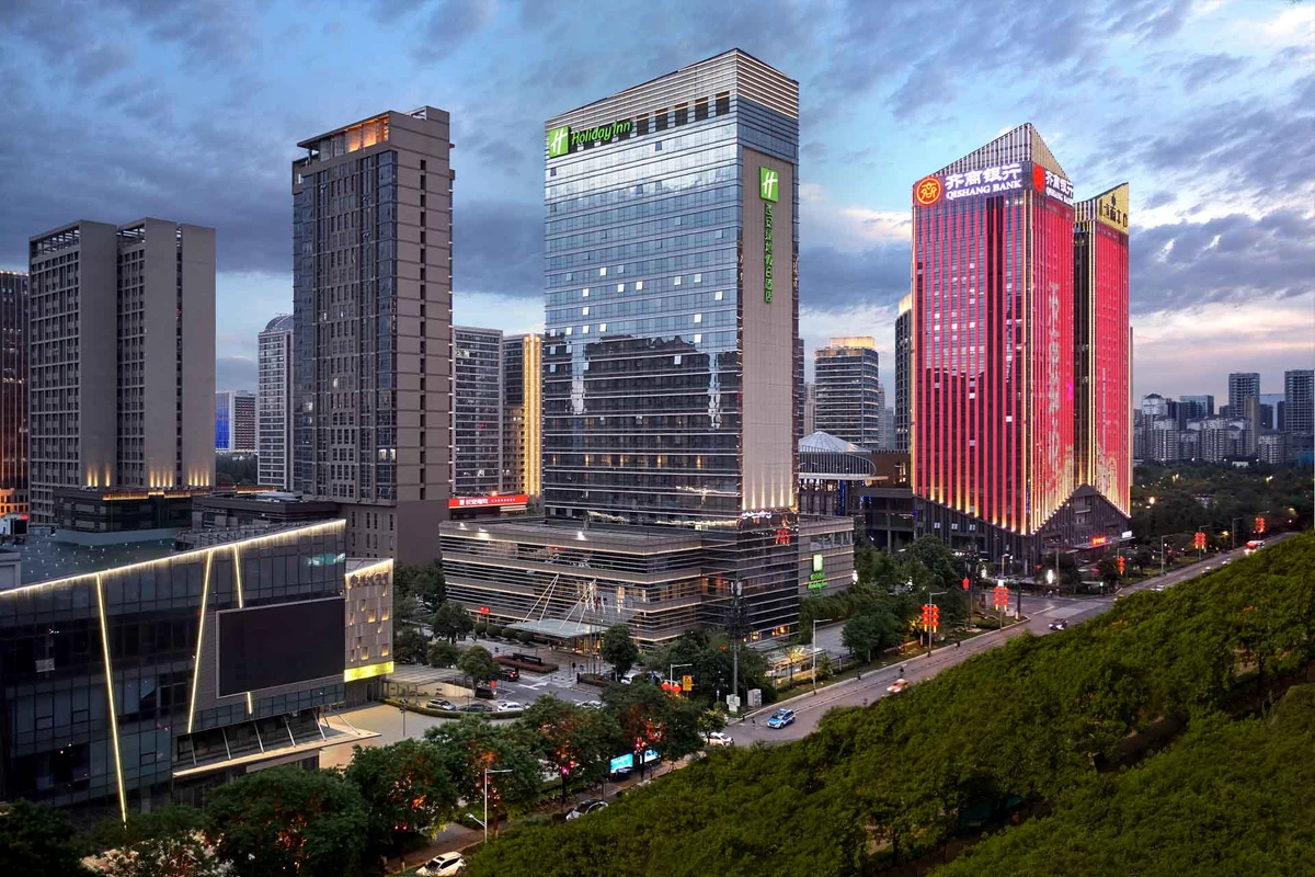
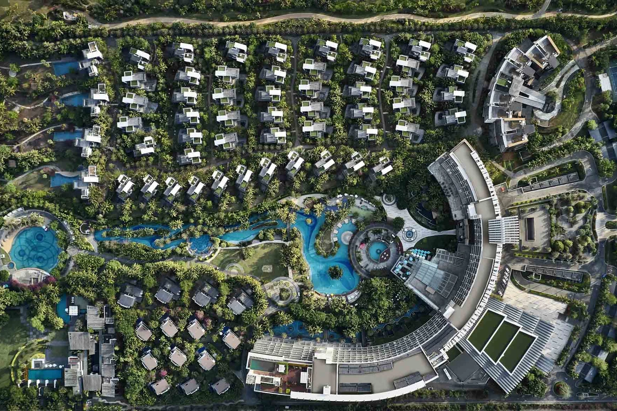
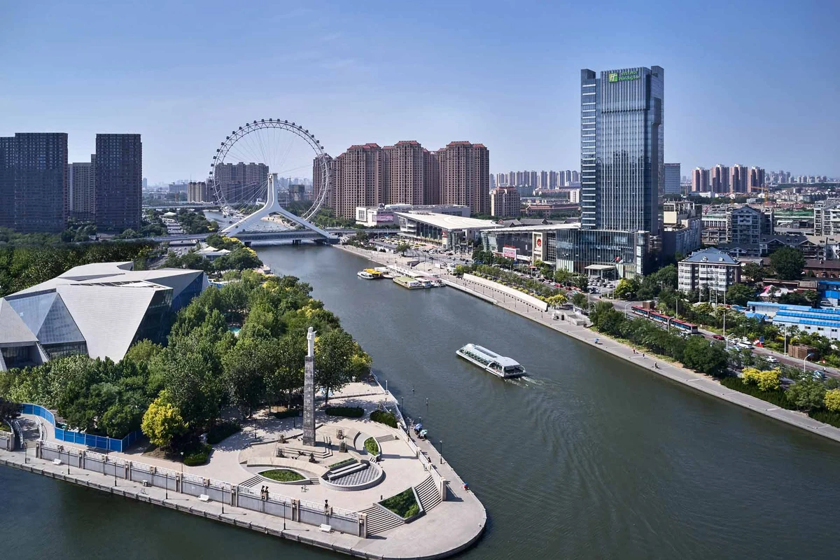
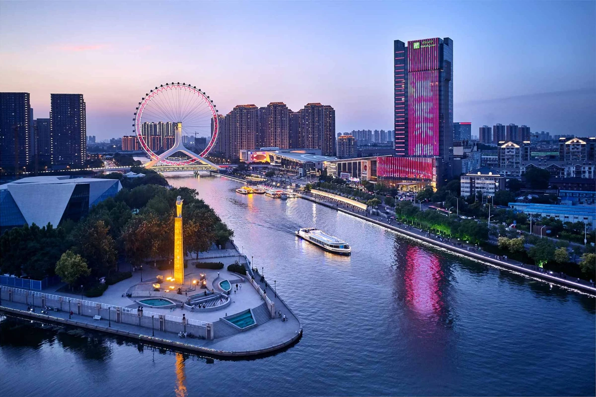
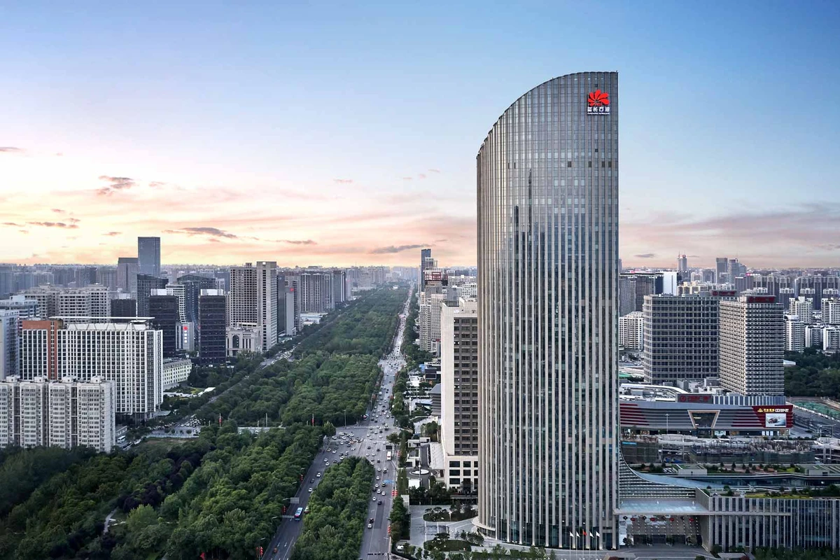
The popularity of using drones to capture aerial photography of architectural is growing. In architectural photography, drones can be used in a variety of ways. Drones can be used to capture high-resolution images of architectural projects for a variety of uses, mainly for documentation, sales and marketing purposes.
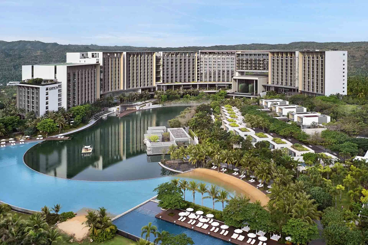
Drones are unmanned aerial vehicles or UAVs which are controlled by an operator in a remote location. Drones have GPS tracking and sensors which add to the safety and stability of their performance. We personally use a head-mounted display for the operator and a 12.9" monitor with stand for client viewing. The head mounted display allows a distraction-free view of the composition and lighting of the property. The 12.9" monitor provides a large display which provides a clear view of the image to be captured for the client.
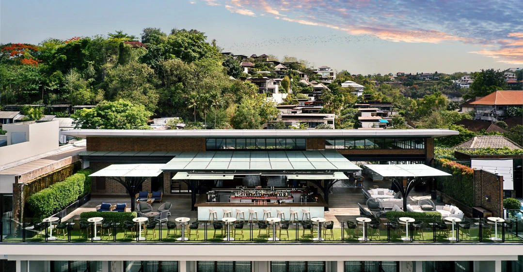
Architectural photographers are now taking advantage of the recent advancement in drone technology which allows high-quality images to be taken with unmanned aerial vehicles. Drone technology now allows architectural photographers to create stunning aerial images without the use of a helicopter or airplanes. Previously, architects, builders, contractors, and photographers would hire a helicopter to create aerial photographs of buildings and architecture. This is impractical, inconvenient and expensive for most properties.
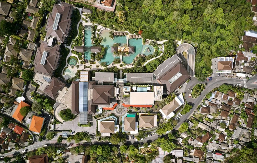
UAVs are small and versatile so they can fly into hard to reach places and at low altitudes. They can fly much lower than traditional aircraft which allows for a larger variety of low altitude images that can be captured. Drones also operate with very minimal noise. They can operate without disturbing the residents in an area and take close up shots of a building without being noticed. This is extremely important in areas such as exclusive hotels and neighborhoods where it's important not to disturb guests and residents.
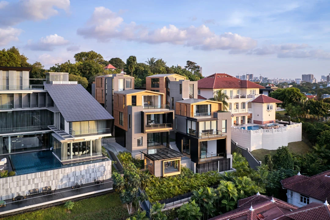
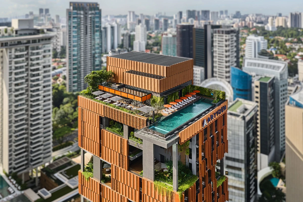
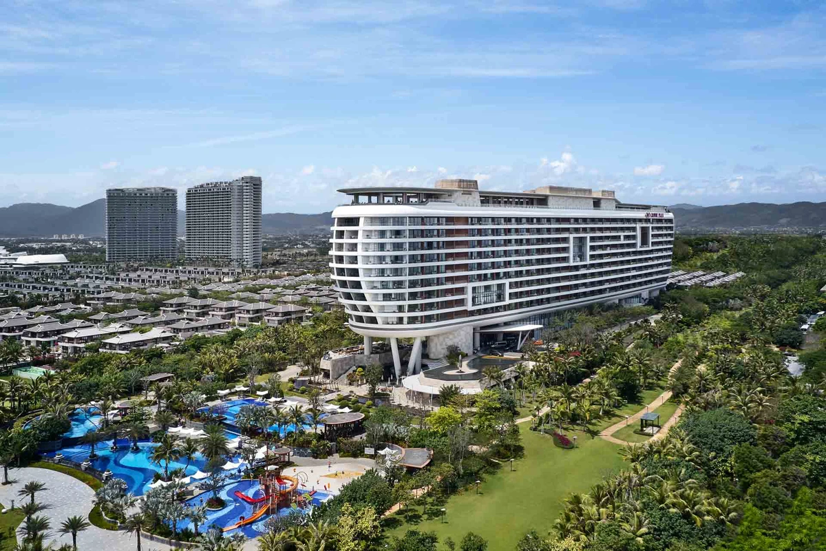
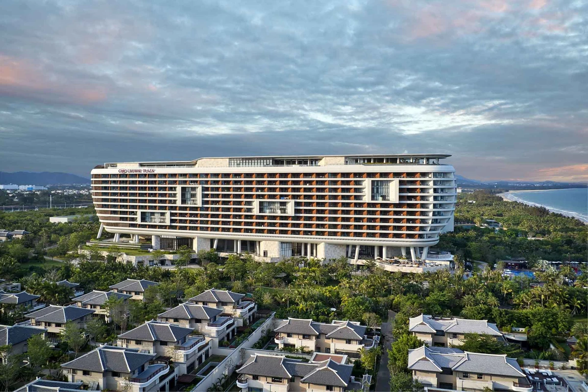
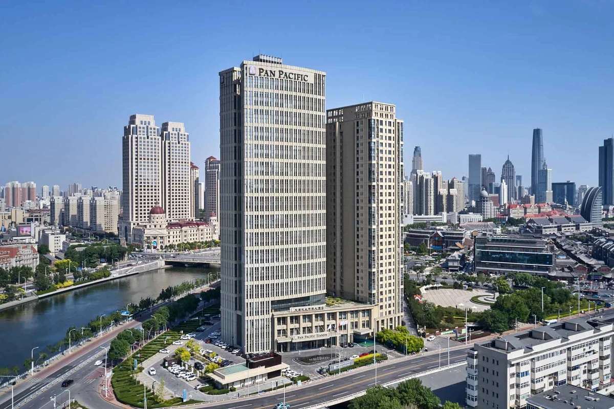
Aerial architectural photography taken with drones provides a new perspective of the structure and its place within the area. With traditional ground-based architectural photography, the photographer is limited to physical space he can place a camera. Aerial photography adds another dimension to architectural photography where the freedom of movement forwards, backward, left, right and up and down effortlessly changes the perspective of the composition. Altitude control allows the option to photograph the structure within its surroundings giving the building context and a sense of place.
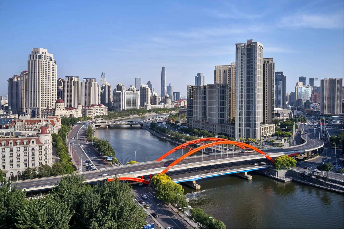
It is important to follow airspace restrictions and local laws when using Drones. Christopher O'Grady is a Civil Aviation Authority of Singapore (CAAS) certified UAV pilot. Any commercial drone activity will require an activity permit. A flight plan and list of images need to be submitted to the CAAS for approval. We will take care of the activity permit and ensure all images captured are created safely and with the required aerial activity permits.
Aerial 360 Photography Services for Virtual Tours
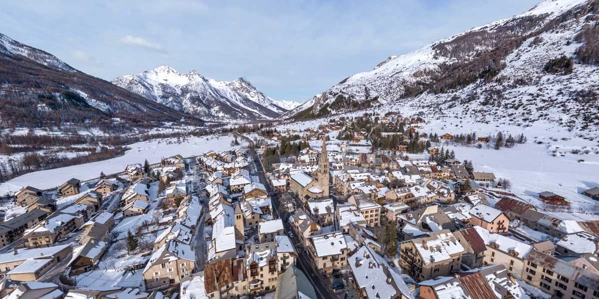
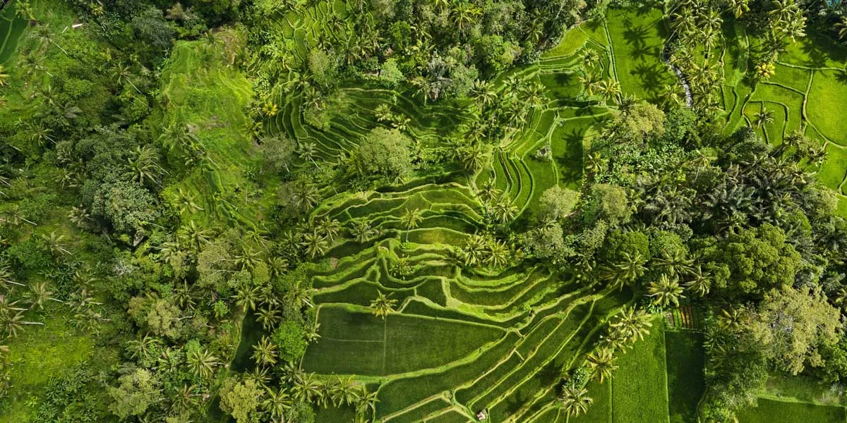
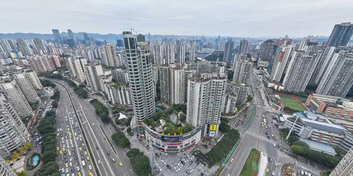
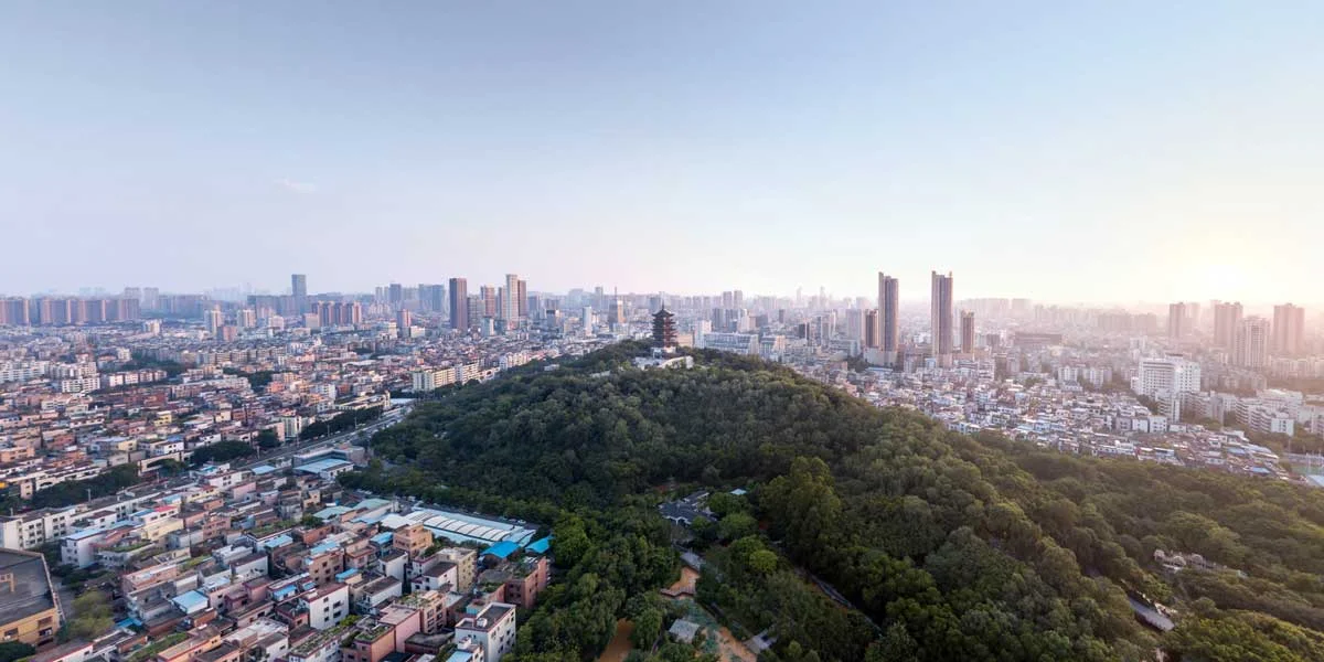
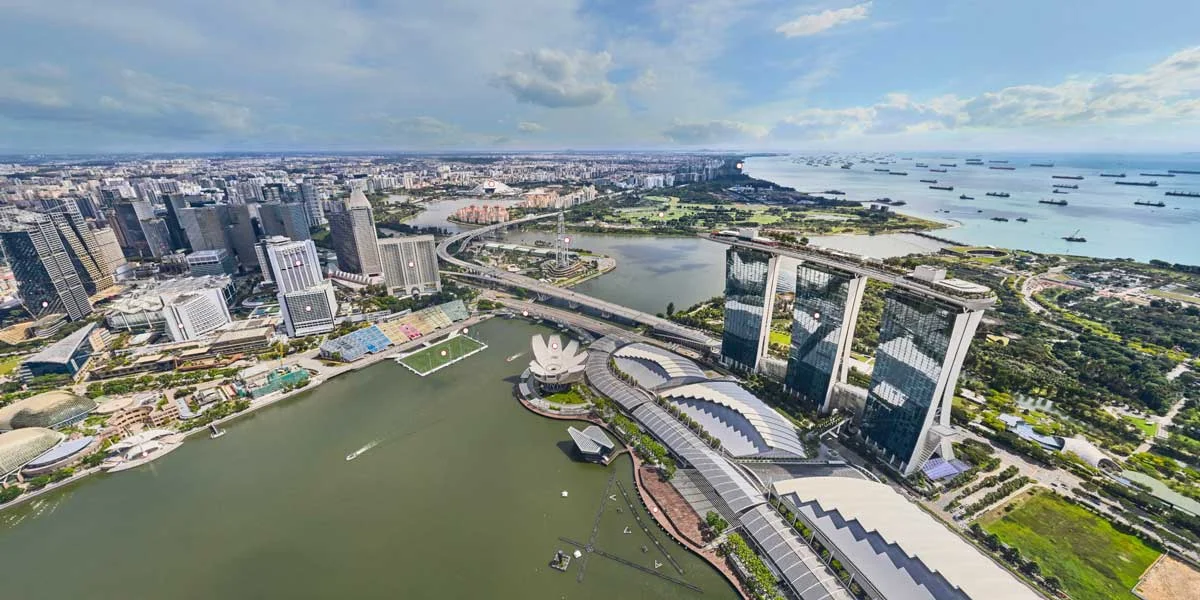
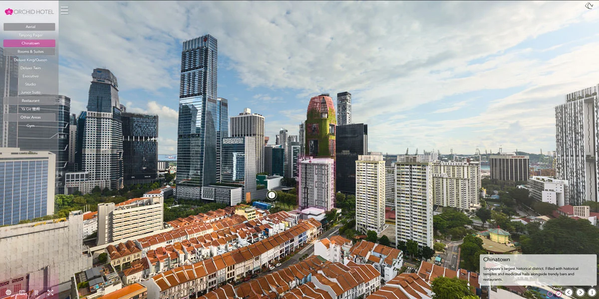
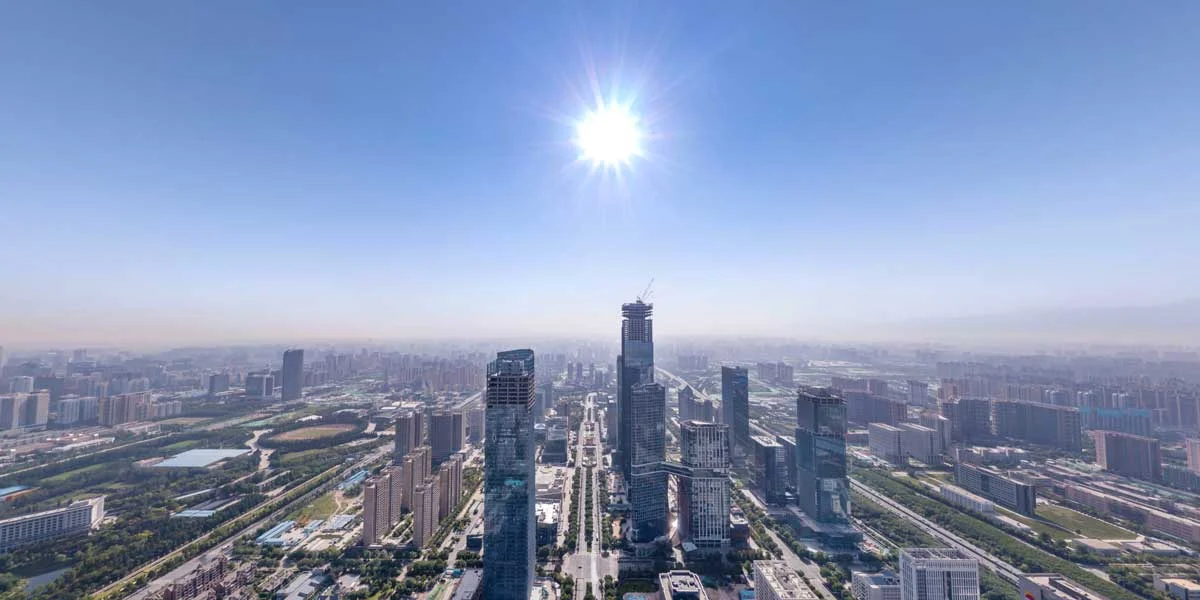
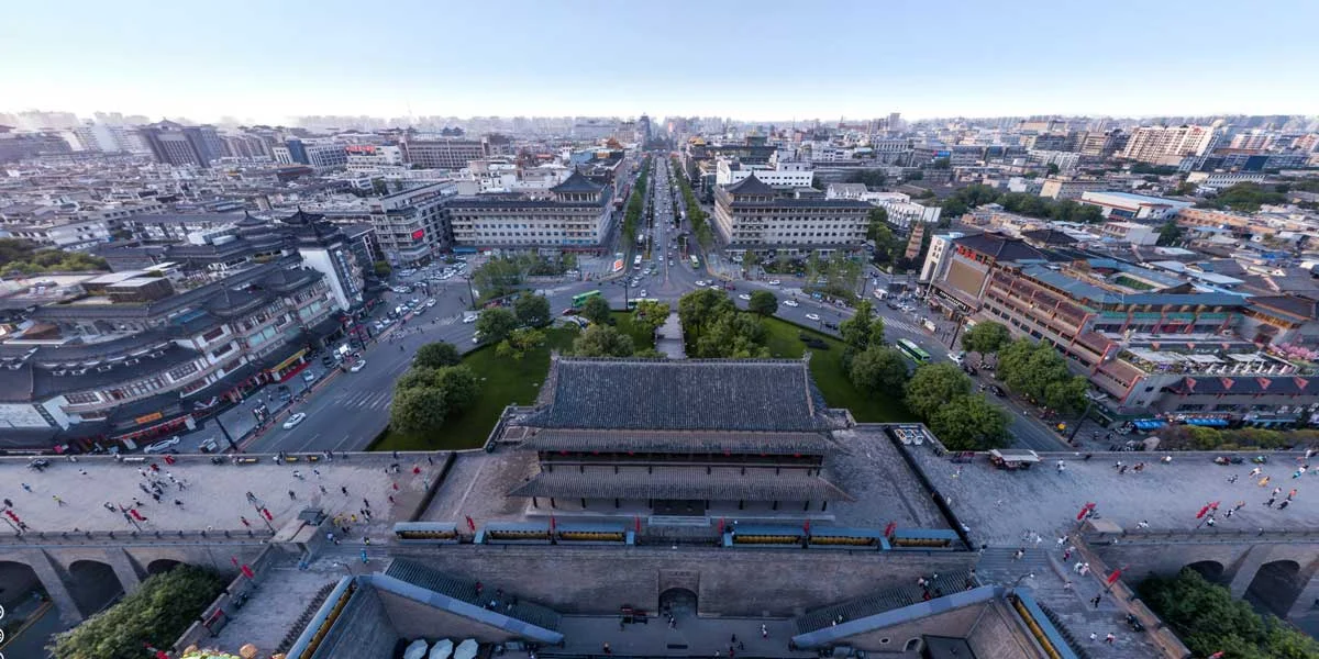
Aerial 360 images are a cutting edge way to display a structure within its surroundings. The drone hovers in a specific location and takes a large number of images. These images are then digitally stitched together to create a 360x180 sphere to create a panorama. Another program is then used to create an HTML file which allows this panorama to be viewed in 360 degrees within a web browser. 360 aerial images can also be used within VR virtual reality applications.
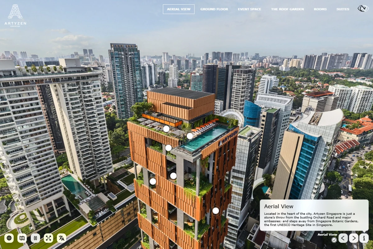
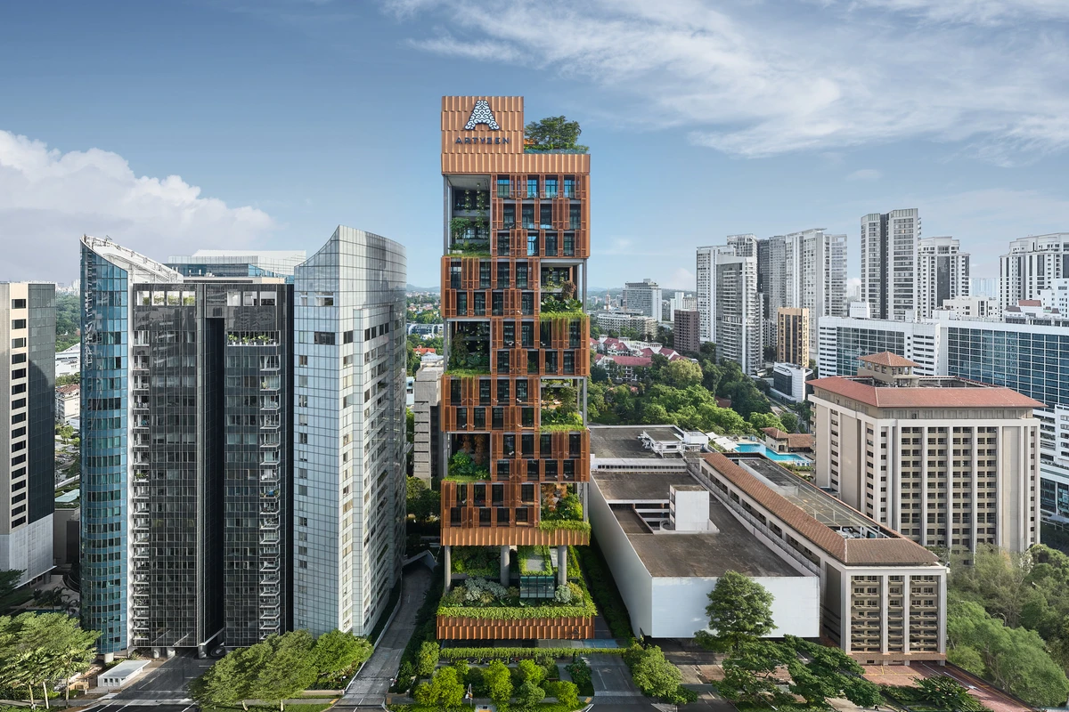
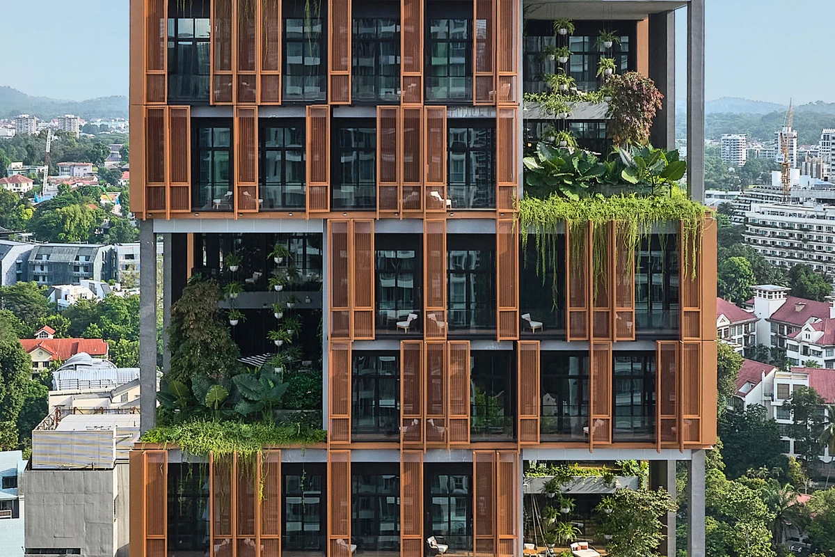
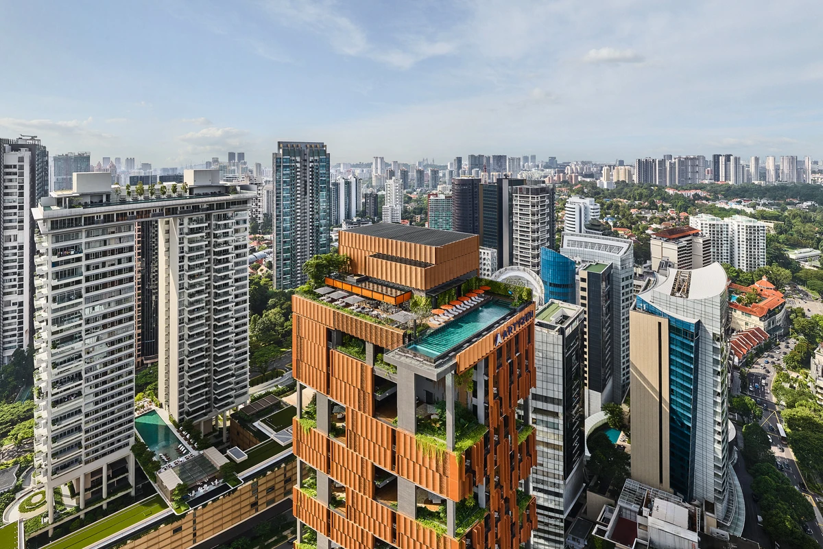
Artyzen Singapore
From the aerial 360 image, you get a bird's-eye view of the hotel's architecture and neighbourhood.
View Tour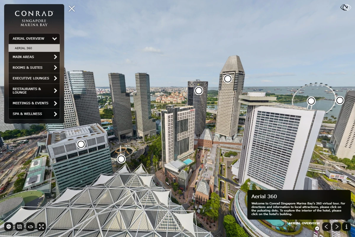
Conrad Singapore Marina Bay
The aerial 360 places the hotel within the Marina Bay area and shows its position relative to surrounding buildings and attractions. Viewers can rotate the panorama and move directly from the aerial view into the hotel.
View Tour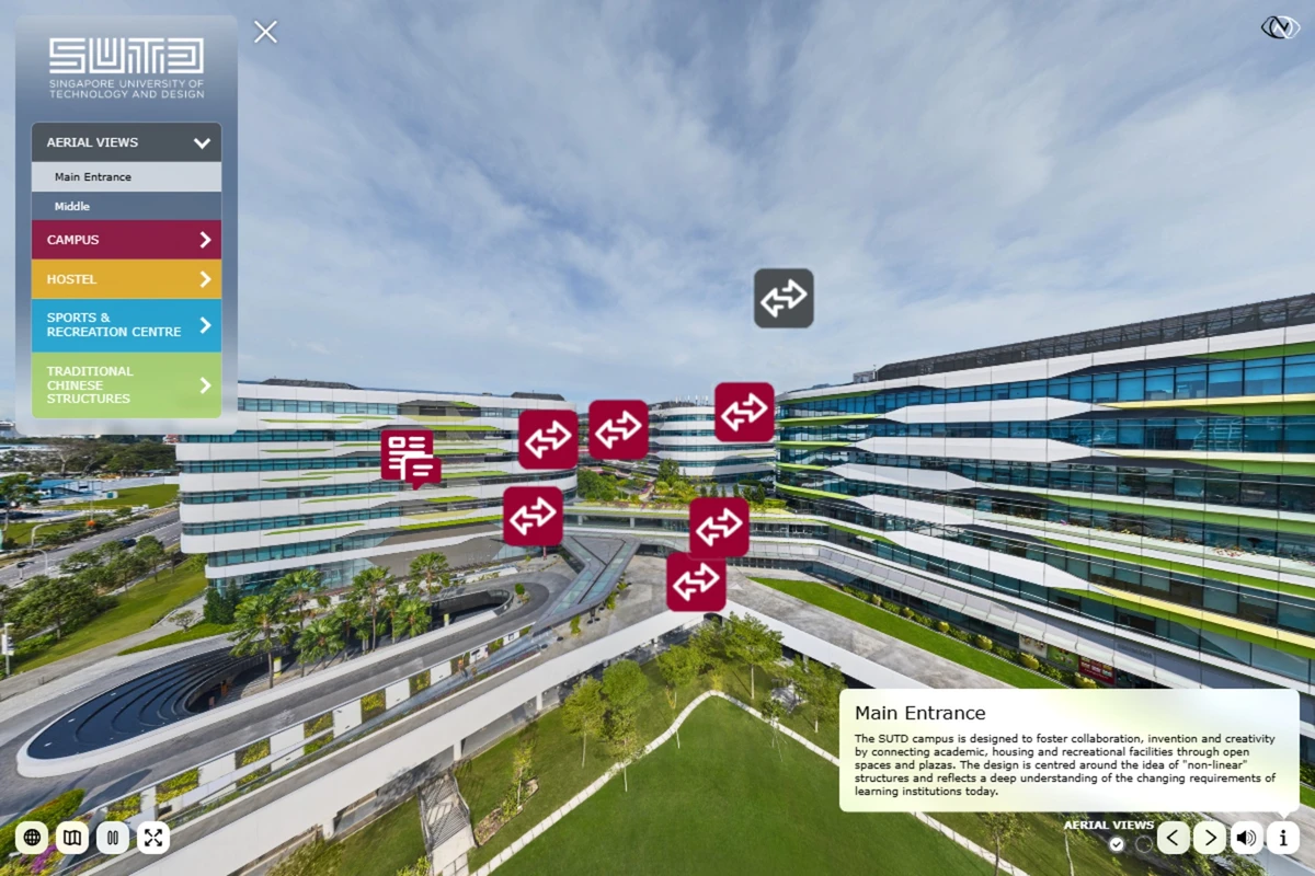
Singapore University of Technology and Design
Two aerial 360 panoramas provide an overview of the SUTD campus and direct access to key areas. Navigation hotspots connect the aerial views to campus, hostel, sports and recreation, and traditional Chinese structures.
View Tour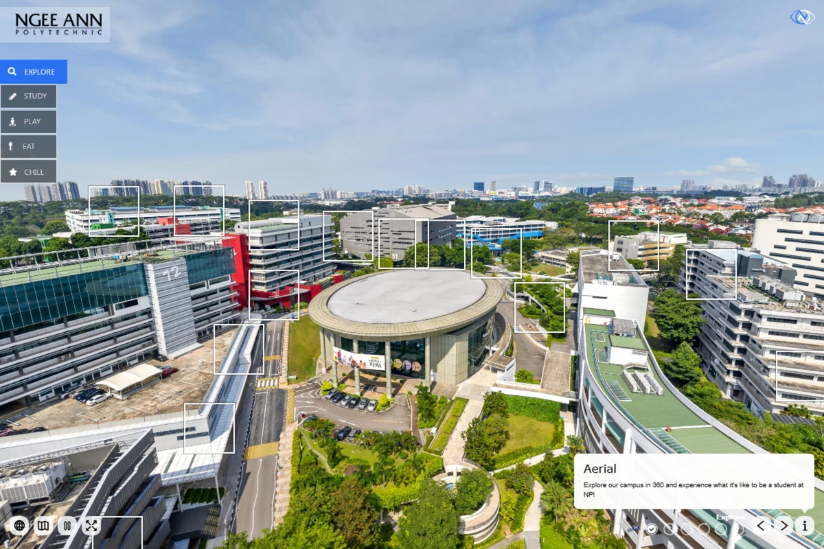
Ngee Ann Polytechnic
The aerial 360 panorama provides an overview of the campus. Navigation points connect the aerial view directly to schools, facilities and other locations.
View TourAerial 360 Gallery
Let's talk about your project.
Architectural and interior photography in Singapore and across Asia.
get in touch